Remember 2016? You were wandering into traffic trying to catch a Snorlax, and we were ALL doing it, don’t lie. Well, it turns out those little video scans you submitted of real-world landmarks during gameplay weren’t just for funsies… they were being fed into a massive 3D geospatial model that a Niantic spinoff called Niantic Spatial has been cooking with ever since.
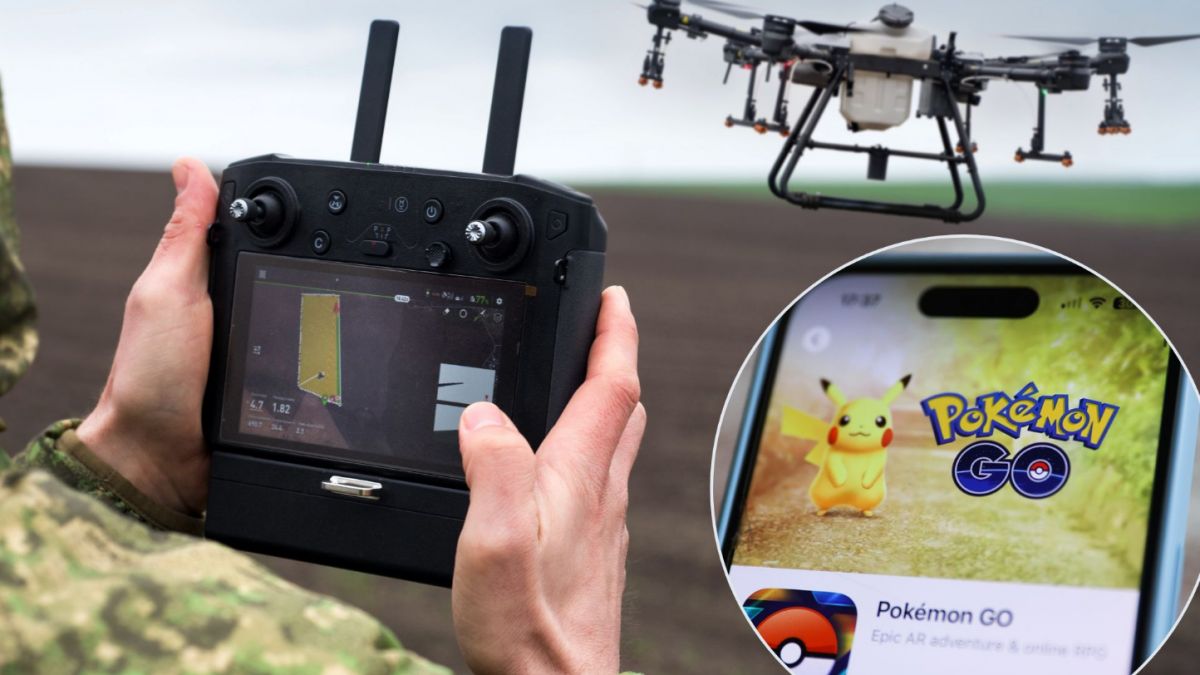
The technology, a visual positioning system that works without GPS, is genuinely impressive: Delivery robots use it to navigate city streets. Cute, right? Very sci-fi, very “the future is now,” very. Oh. It’s also been integrated into military-grade software for drones and ground vehicles.
Yes, the same app that had your aunt wandering around a cemetery at midnight looking for a Gastly has, allegedly, contributed data to weapons programs. Users are… how do we put this… unthrilled. Critics are pointing out that “informed consent” is doing some very heavy lifting here when nobody signed up to crowdsource surveillance infrastructure for warfare. The developers insist the data is anonymized and used only for AI training, which is exactly what someone would say, isn’t it.
Oh, dystopia! We always knew those Pokémon were up to something.
Be the first to comment on "OMG, Pokémon Go data: From catching Pikachu to training military drones"